


In addition to the thematic maps contained in the Digital Atlas of the Wine-Growing Areas of Hesse, this application also contains print files (PDF) for Adobe-Acrobat-Reader. The maps of the Hessian wine-growing areas are available as 1 : 25.000 scale A3 plots (in german language). These print files enable you to print A3 or A4 maps for personal use. With an A4 printer, the map can be scaled down to fit a single page by using the function "downscale to page-size". Maps with excellent quality you can get with the print and multimedia products of the "Digital Atlas of the Wine-Growing Regions of Hesse".
Open the maps by clicking the "x" in the appropriate column.
The legends of the topics can be opened by clicking the title of the
referring topic.
|
|
|
|
|
|
|
|
|---|---|---|---|---|---|---|---|
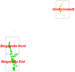
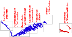
| Vineyard Demarcation | X | X | X | X | X | X | X |
| Water Protection Areas | X | X | X | X | X | X | X |
| Landscape Protection Areas | X | X | X | X | X | X | X |
| Solar Radiation | X | X | X | X | X | X | X |
| Solar Radiation (Height Reduced) | X | X | X | X | X | X | X |
| Temperature | X | X | X | X | X | X | X |
| Wind Risk | X | X | X | X | X | X | X |
| Cold Air Risk | X | X | X | X | X | X | X |
| Frost Risk (-2°C) | X | X | X | X | X | X | X |
| Frost Risk (-4°C) | X | X | X | X | X | X | X |
| Soil Groups | X | X | X | X | X | X | X |
| Available Water Capacity | X | X | X | X | X | X | X |
| Slope | X | X | X | X | X | X | X |
| Aspect | X | X | X | X | X | X | X |
| Potential Nitrate Leaching Risk | X | X | X | X | X | X | X |
| Potential Soil Erosion Risk | X | X | X | X | X | X | X |
| Water Stress Risk | X | X | X | X | X | X | X |
| Potential Must Weights | X | X | X | X | X | X | X |